Hike

Midland Ice Caves

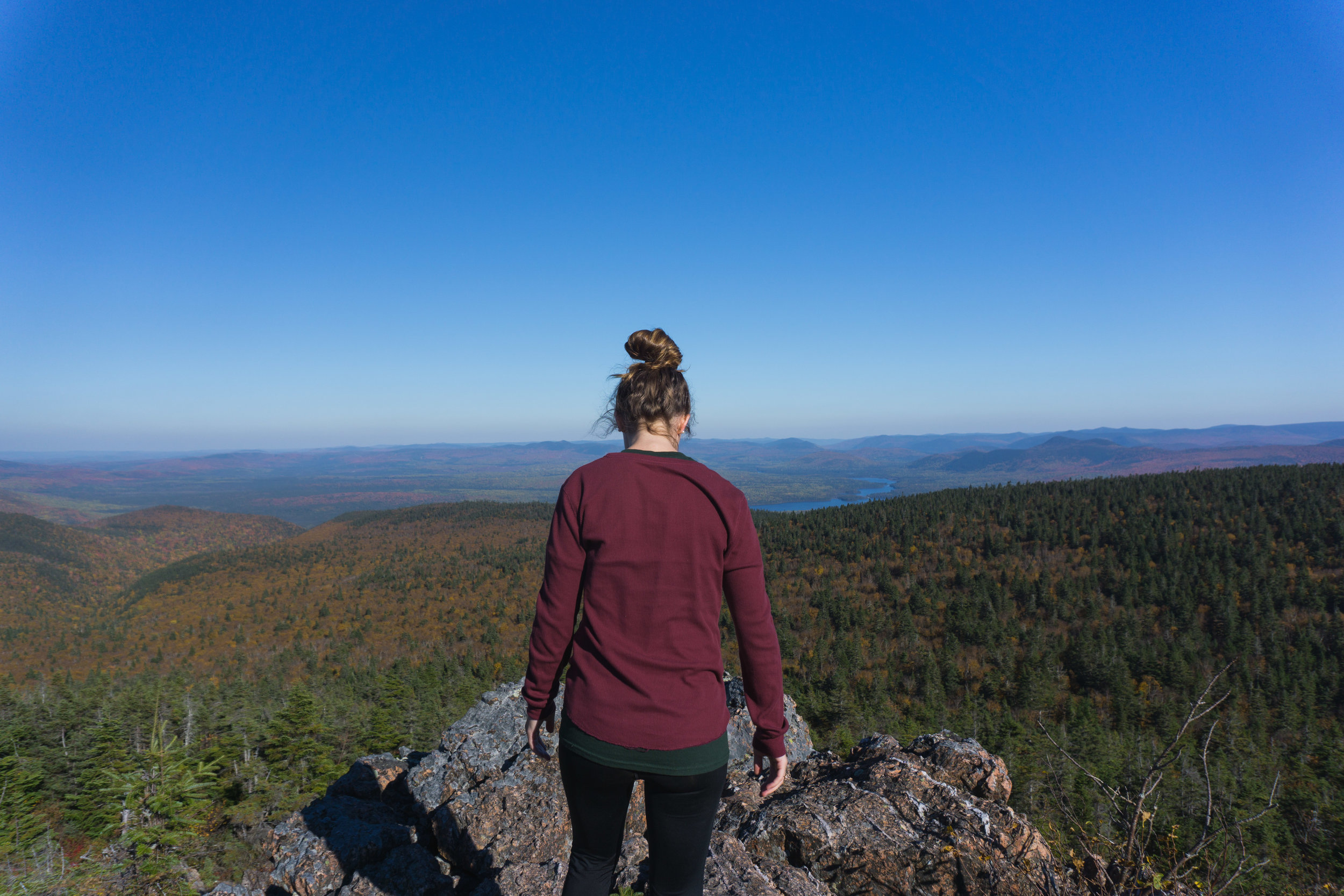
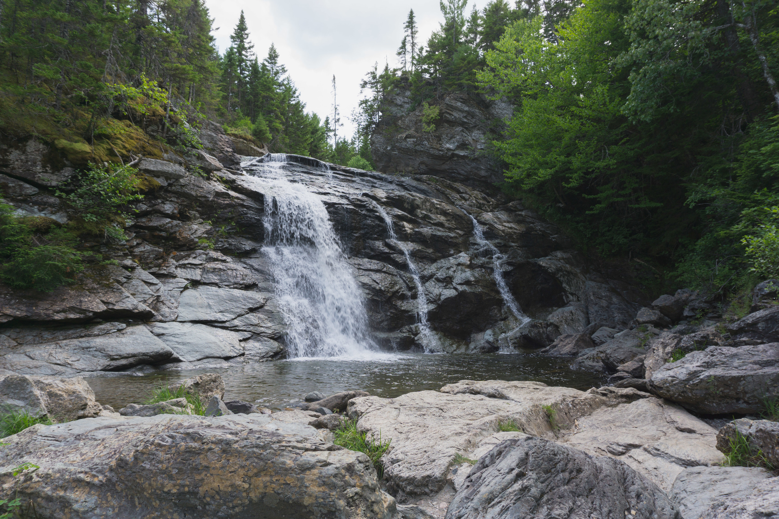
Well, I’ve been waiting for the snow to go explore the Midland Ice Caves, and I definitely got what I’ve been asking for! As I’m writing this, I just cleared about 50 cm of snow from my driveway. :/ The white stuff definitely did make the trip more beautiful though :) 

DSC00150-68.jpg

A few friends and I headed out towards Norton from Moncton and met up with my sister in Sussex to make the trek to the caves!  

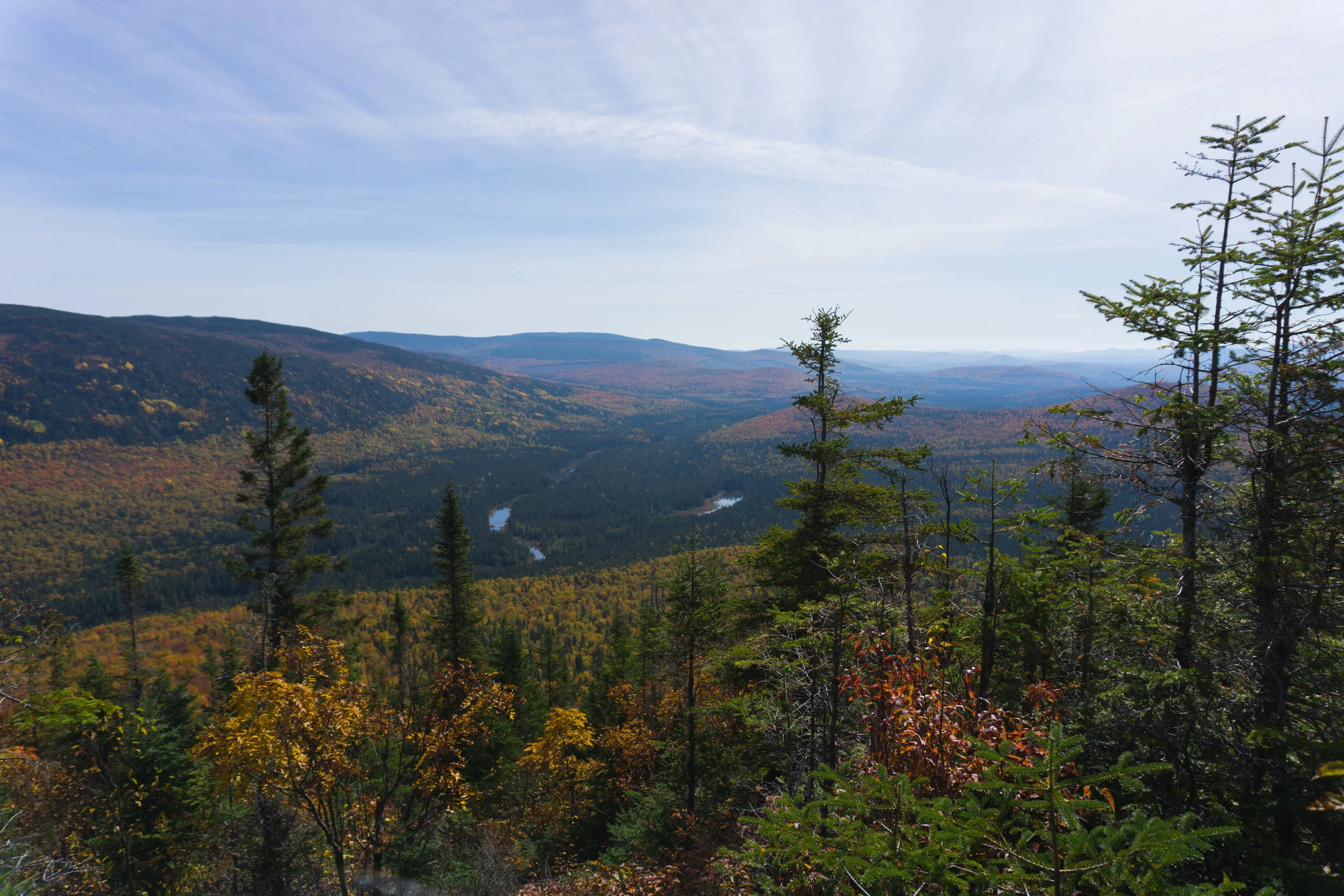
I forgot to time the way into the caves, but I think it was about an hour. When we arrived at around 11:00, there had already been a pretty obvious trail made and the snow was patted down. The first 2/3 is through a field that gets pretty steep by the end. It will make you want to lose some layers, and we each lost at least one on the way up - some we left in trees with notes in the snow, and others we carried. :) Besides the grade, it's a pretty easy hike. At the top of the hill you can either go straight or turn left, you turn left into a wooded area. 

The last third in the wooded area is quite easy and beautiful.

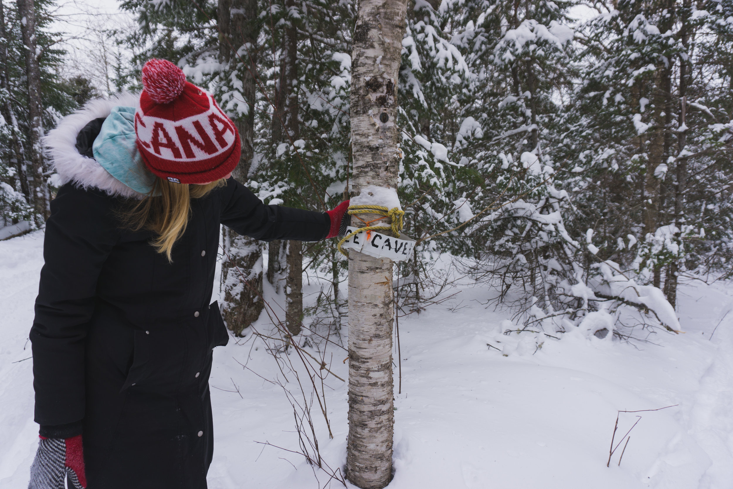
Once you go in about 10 minutes, you take a right at the sign. The sign was broken, so we tried to fix it for ya! 

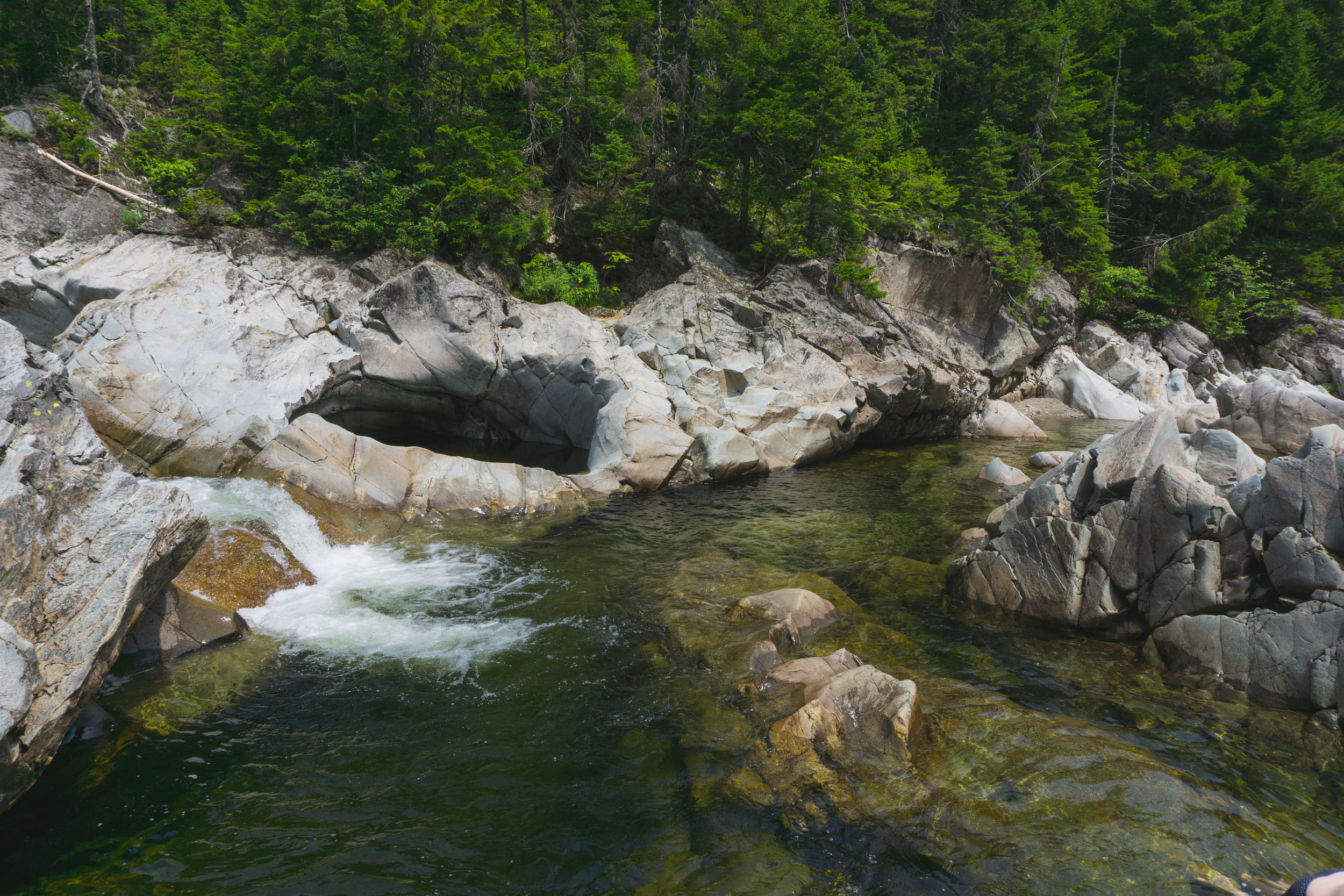
You go down this "trail" for under 10 minutes and come to the small valley where the caves are! 

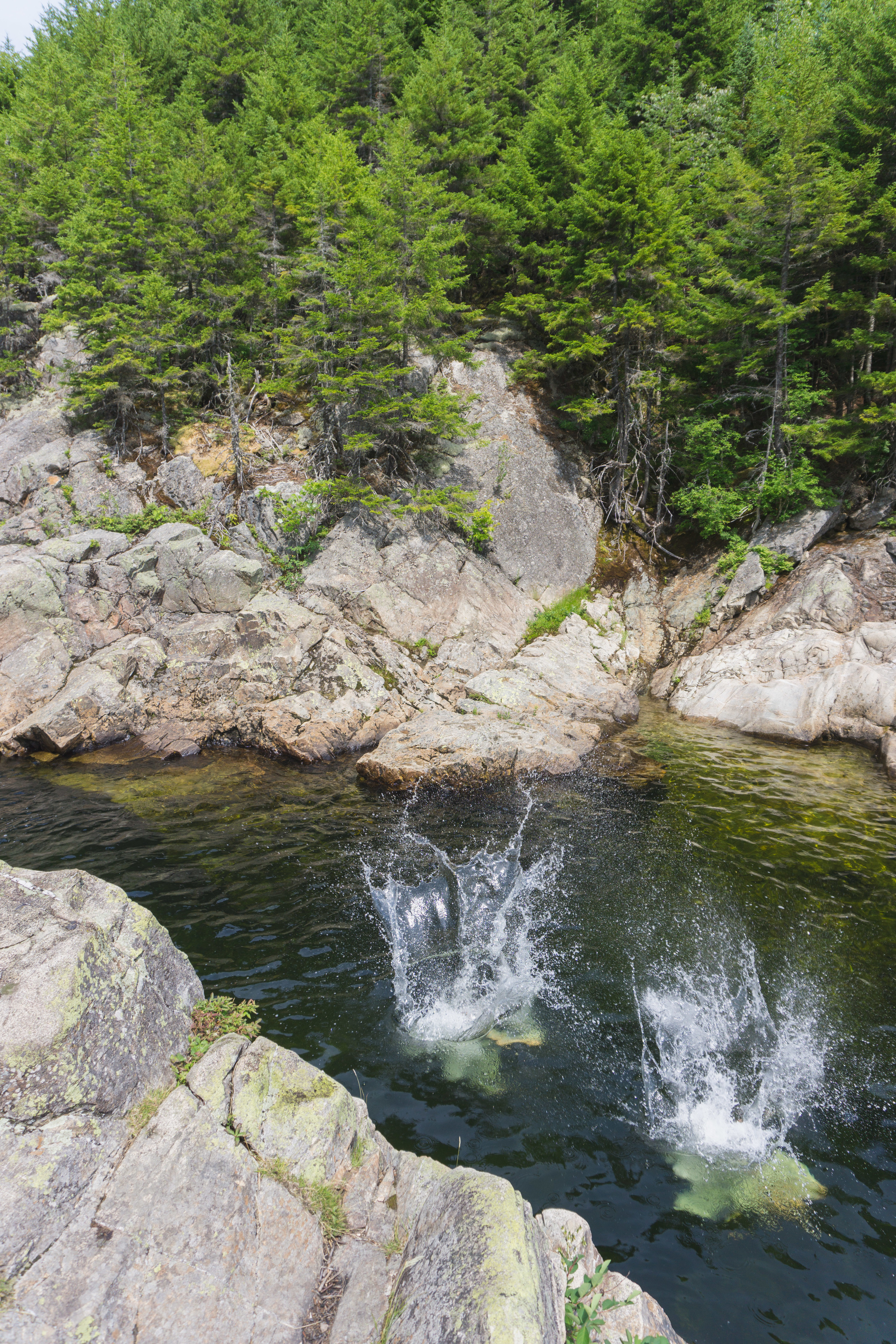
Every year there are holes in the ice so you can actually go in and explore the "cave" and get your perfect photo op! 

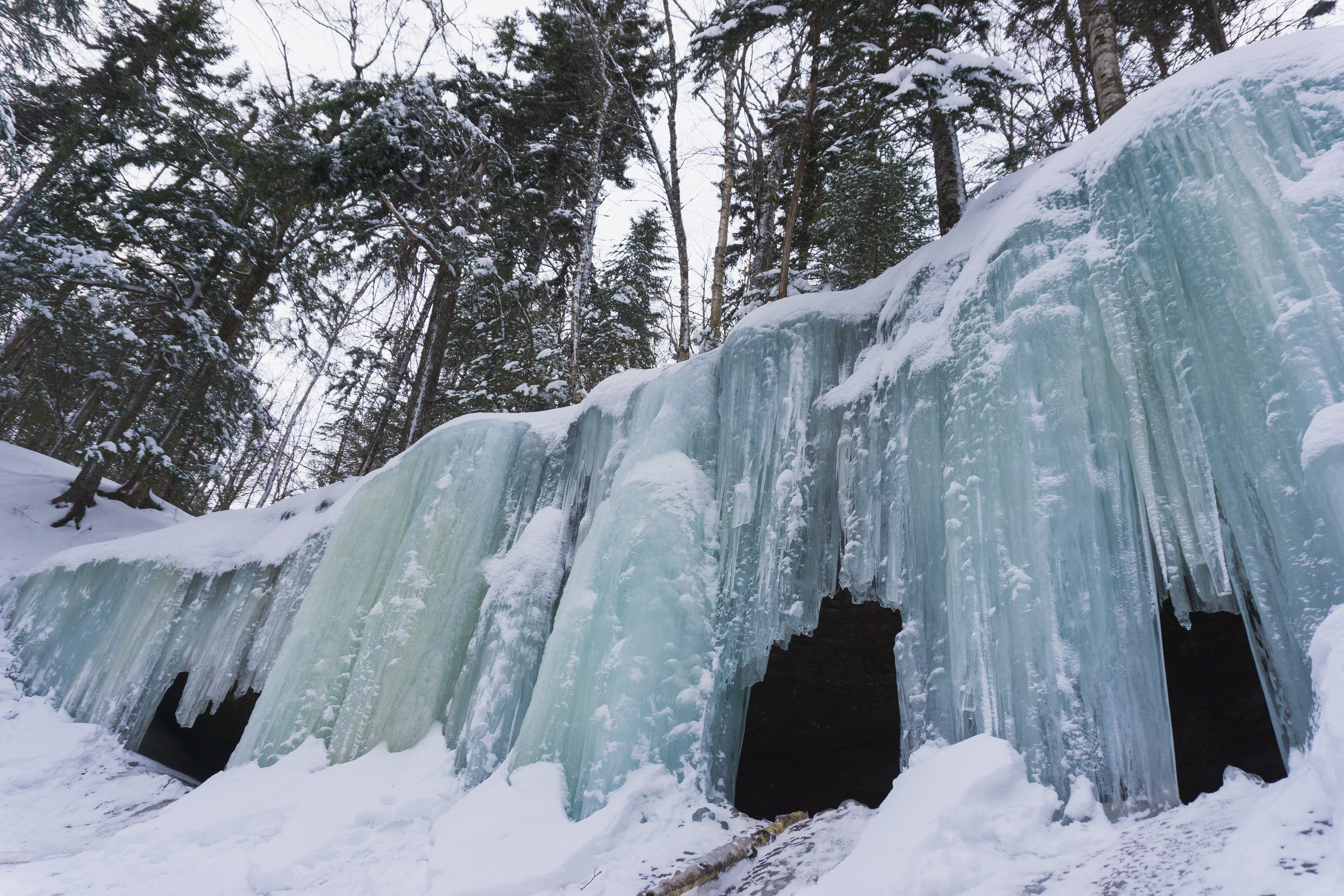
It's slippery, so be careful! You can climb in and slide out! (But that really hurt my butt) 

Someone was nice enough to set up these ropes to help you get up and down! 

The way out is pretty much all downhill, so it only took about 40 minutes. We did walk pretty fast though. It was hilarious to go down this field and see 19, NINETEEN cars lined up of people going to check them out. I love the Maritimes, but clearly we could use some more winter entertainment. haha. 

So after this week of blizzards, I'd probably pack some snowshoes, but go check it out! 

For great directions, check out Hiking NB, as usual. Also, this is private land, so let's be kind and considerate so we can enjoy them for a long time! 

Mount Carleton

There were a few places I wanted to be in peak "leaf peeping" season, and Mount Carleton Provincial Park was at the top of the list. My BFF and I headed out at 8:00am on Thursday morning and arrived almost exactly four hours later, just around noon. This ended up being really lucky as they "cut people off" from climbing Carleton at noon, since the days are getting shorter. It was a beautiful, beautiful drive. 

So, for our first day in the park, we decided to hike the highest peak in the Maritimes - Mount Carleton. Of the three mountain climbs in the park, this is actually the easiest. It's a nice loop trail. It's about 2.25 hours up and 1.25 hours down. 

The way up (if you go "clockwise") is less groomed and is quite beautiful. You go along this stream for a while on your way up: 

Once you get to this rocky section, you're almost at the top! 

You'll come to this view at the top of the trail: 

After continuing on the top over and around some boulders, you'll come to the fire tower that was used in the first half of the 20th century to spot fires. In 1968, the province began using air patrols, so the fire tower is no longer used. 

This is a great spot to enjoy a picnic and the view of 10 million trees. 

The way down is (obviously) easier and only takes 1.5 hours, but it is a little less scenic.

Definitely worth the hike to make it to the highest point in the Maritimes! 

We stayed in a B&B close by overnight and decided to hike another mountain on Friday! We landed on Mount Bailey as it is a bit shorter than Carleton, but a bit more strenuous. 

Before starting out, we checked out this waterfall: 

And spent some time at the lake: 

I can't wait to get back and spend some time swimming and canoeing on this beauty. 

So we set out to do Mount Bailey at around noon. The first 3/4 of the hike is through this enchanted forest: 

The way up was about an hour and a half and the way down about 45 minutes. We opted out of the loop, which is a bit longer and more difficult. Bailey was a wee bit steep, quite a bit steeper than Carleton, but the payoff was worth it. 

There are just two small lookouts on this trail. They say you can almost always see moose in the brooks below from the top. We weren't so lucky. :( 

I really enjoyed Mount Bailey, and can't wait to try it again and do the full loop. 

Things you should know about MCPP: 

Campgrounds close at the end of September. Check their website for dates.

The park "officially" closes mid-October. You can still go in after this point, but you'll have to walk in past the gate. 

They only accept cash!! 

There is no cell phone service, except on the top of mountains. :) 

Moosehorn - Laverty Loop

This is probably one of my top two favourite locations in New Brunswick. It’s usually the first place I bring my friends who are visiting Fundy. I feel like the ratio of hiking to payoff is perfect. :) 

There are lots of ways to do this hike. My sister, friend, and I spent a few days in Fundy and decided this time to start out on the downhill Moosehorn side to avoid the switchbacks on the way out. 

It brings you out to views like this:

Up the trail a little ways, which is a bit of climbing over those otherworldly white rocks, you’ll find this little swimming hole with its own mini cliff to jump from. It can be a little hard to find this particular swimming hole as there are lots of little pools leading up to it (all of which are fun to check out), but keep going until you see something like this: 

Then go for a swim! 

Soak in the view.

And this waterfall.

And slow down and relax.

The adventure continues as you figure out a way to change out of your wet clothes and continue on the hike to Laverty Falls! 

Unfortunately I didn’t time each section, but I would guess the first hike down to the water takes about 45 mins, and this next section about 30. It's pretty scenic as well: 

Laverty Falls is also another popular fresh water swimming spot in Fundy, and a pretty great one if you ask me. Like I said, there are lots of ways to to do this trail - lots of people just hike into the falls and go for a swim and hike back out, cutting your trip almost in half. 

The last section is probably another 45 mins to the end. It is a steady incline - not gonna lie it always feels a little bit like you’re never going to reach the parking lot. :) All a part of the fun. 

And so worth it. 

Try it, if you haven’t! 

Third Vault Falls

Over the past couple of months, I kept seeing pictures of this beautiful waterfall on Instagram and kept being surprised it was Third Vault Falls! I decided I would go back again to see what I missed the last time. I said in my last post that I have a thing for fresh water swimming. I also have a thing for waterfalls, which I guess makes sense. 

I remember doing this hike in Fundy National Park a few years back, and all I remembered was that it was a lot harder than I thought it would be. So I was ready for a pretty good hike, and was pleasantly surprised that it wasn't nearly as "bad" as I thought it would be. 


It was about 40 minutes in - downhill. 

And about 50 minutes out - uphill. :)

When you get to the end of the trail you come to a gully-ish section that takes you down to the base of the waterfall. 

I think Kristen found it! 

We were there at the end of June so it was still too cold to swim, but I think you could swim if you wanted to, which, in my opinion, makes any trail worth it. 

We had a picnic beside the waterfall, took some pics and made the trek out. Even though it’s uphill, it wasn’t too bad of a hike and I would say the whole thing took us under 3 hours. 

And of course, it’s always great to end a day with some Fundy Take-Out. Mmmmm 

CROOKED CREEK

Looking for a free and "private" swimming hole? I've got just the thing . . .

I knew Canada Day was going to be a hot one, so I thought it would be a perfect day for the fresh water of Albert County. I was a little worried it would be crowded, but when we got there, we were the only ones there. Paradise. 

This was actually only my second time at Crooked Creek, but it is one of my favourites because I'm obsessed with rocks, trees, and fresh water swimming.

You can jump in here: 

Or here, if you're more daring: 

Fair warning though: it is the coldest water I have swam in! I would only recommend going if it's a pretty hot day.

There are beautiful views at the top and bottom. 

The trek in isn't too bad . . . 

I think it only took about 8 minutes. It's just a wee bit steep . . . 

Which makes the way out a little more taxing. 

Just take a couple of breaks, and you'll be fine. If only there was another swimming hole at the top!


Want to check it out? 

Drive to the village of Riverside Albert via Route 114 and then take the Forestdale Road towards the Crooked Creek Lookout. Just before you get to the lookout, you will see a new road on your right. Across the road from there is an opening in the trees to the path down to the creek. Park on the road or up at the lookout and start your adventure! 

Oh yeah, you get to see a waterfall while you're there too!